
 Dirt moving – no problem, just have the proper equipment and it is done very quickly. Now think about moving dirt using only baskets carrying fifty pounds per load. Using this method think about moving approximately fifty-three million cubic feet of dirt. Seems like a daunting task, but that is what the Poverty Point inhabitants accomplished between 1700 and 1100 B.C. They moved this enormous amount of dirt to build a complex of earthen mounds and ridges.
We knew about Poverty Point in northeast Louisiana and had even passed the area many times, yet never stopped. Now we made it a destination.
Because this area was in the Mississippi floodplain it became prime farmland in modern times. The area was cultivated for hundreds of years and most of the ridges built by the pre-agricultural society have been lost to farming. But a photograph taken from space alerted researchers that a prehistoric land pattern existed. Archaeologist have determined where the ridges were and have marked the area so visitors have an understanding of just how large these structures were.
There was one large mound in the shape of a bird. Over time residents of the area destroyed the head of the bird by digging and searching for “treasures”. The visitor center and museum contains many artifacts found by area residents prior to the state taking over the site. These artifacts have been donated to the state.
The name Poverty Point comes from the plantation which was located at the site. The owner had a plantation on the east side of the river as well as the west. The east side was fertile and profitable while the west side was less fertile and more difficult to farm. Because of this he named his west plantation Poverty Point. Also his wife and sister-in-law are buried on one of the mounds, Mound D. That mound is called Sarah’s Mount, the name of the plantation owner’s wife
The first notice of the area was in a 1938 Army Corps of Engineers photo. Yet, the discovery was not made until 1952 when archaeologist James Ford noticed the ridge patterns. Today, Poverty Point is a World Heritage Site.
To date no human remains have been located. But then only approximately 1% of the site has been excavated. There is so much more to accomplish at the site.
For a few minutes, visitors are able to walk where ancient people walked and just imagine the building of the mounds and ridges. Walk to the top of the mounds and envision what the area would have looked like centuries and centuries ago when a civilization from times past occupied the area. And realize just how advanced this culture was for its time.
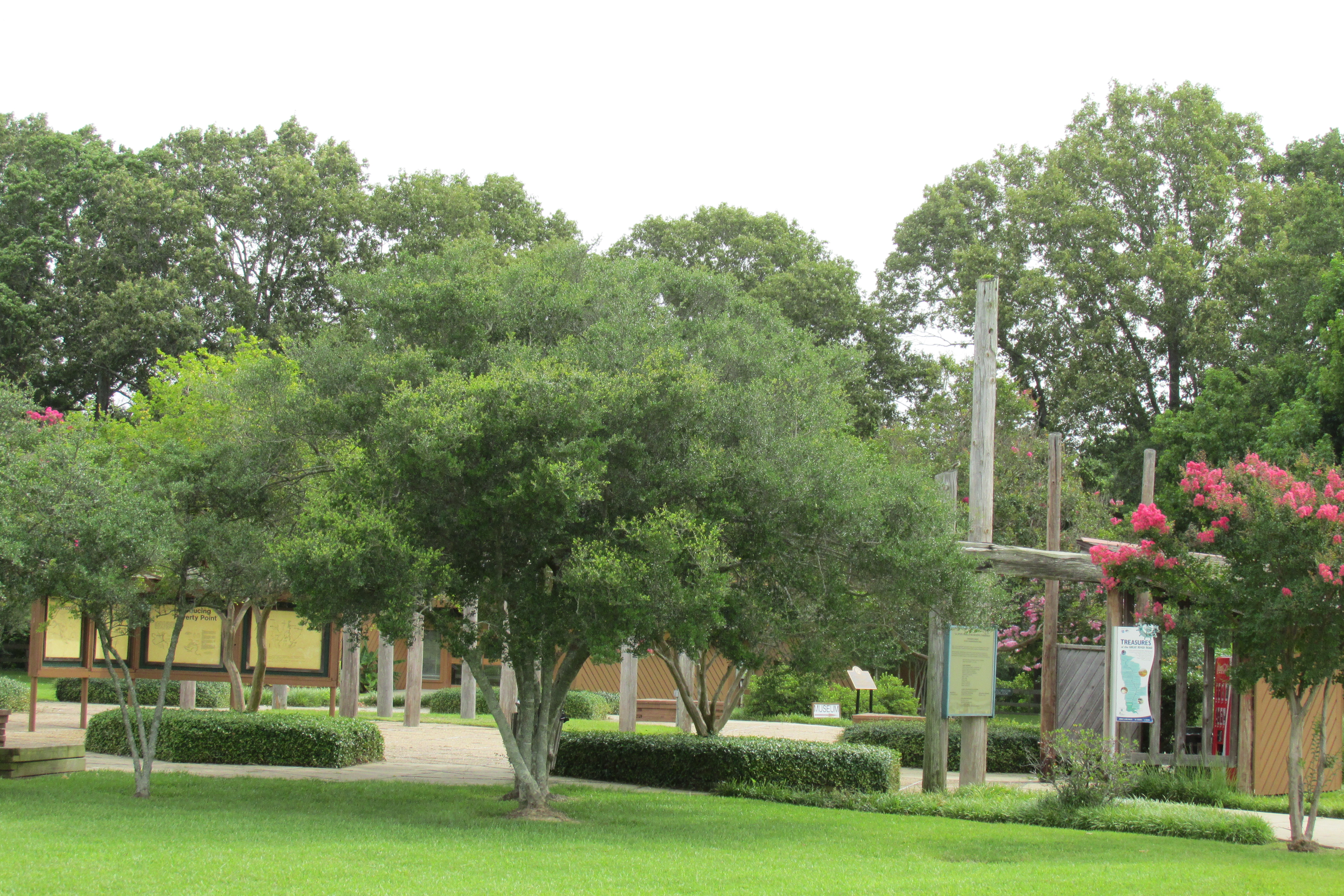
Thinking about what went before

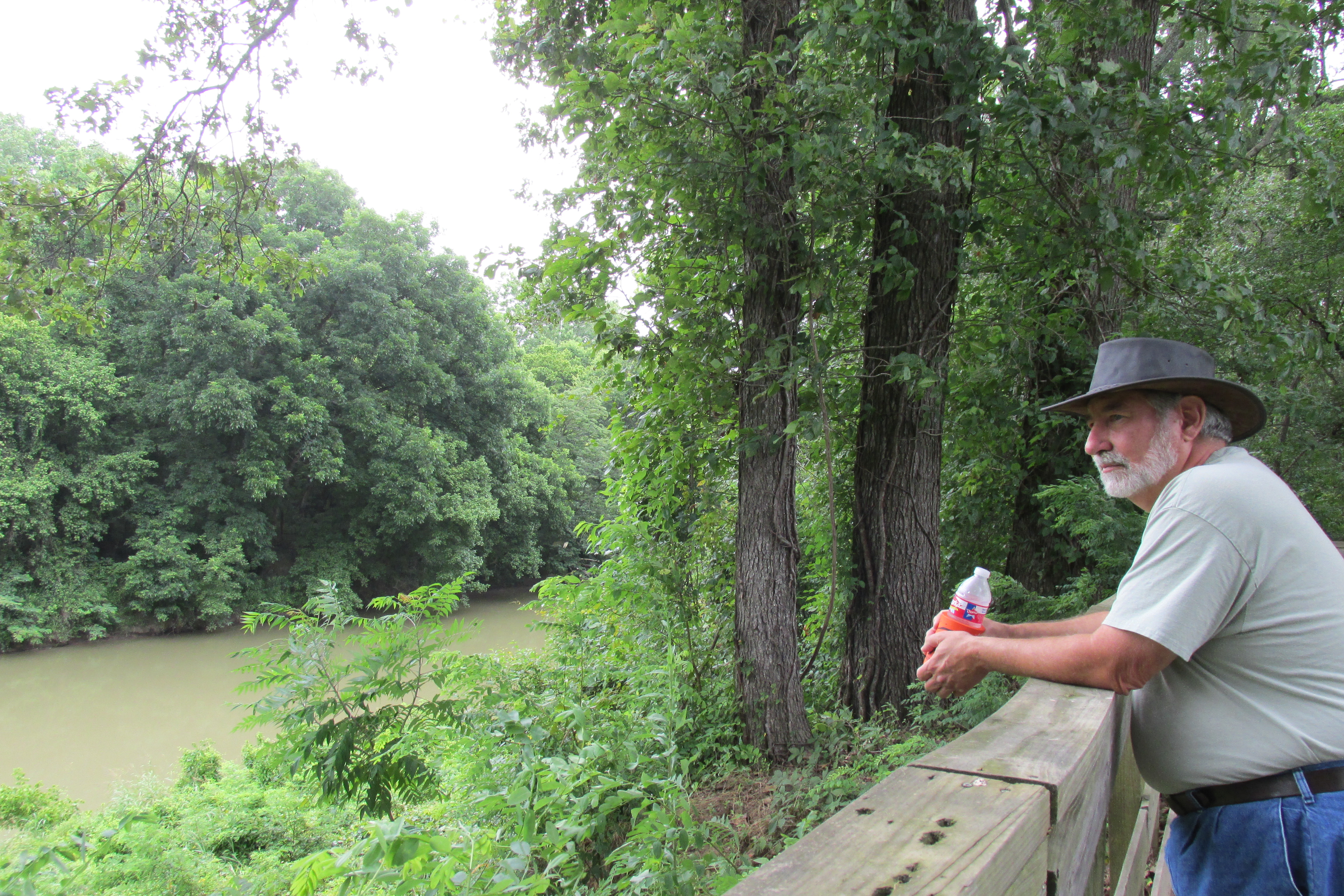
Our Guide
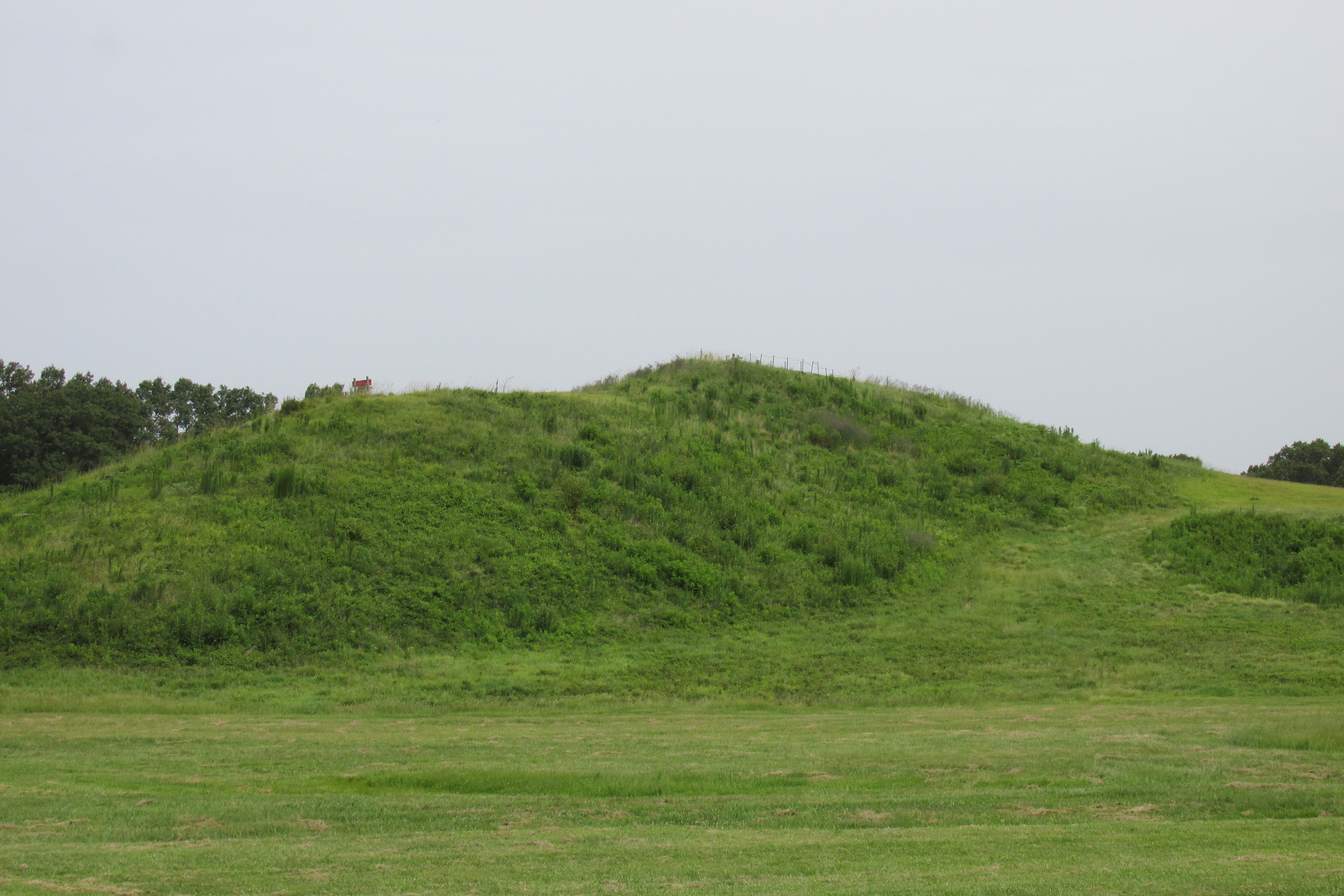
Remainder of Bird Mound

Where ridges were
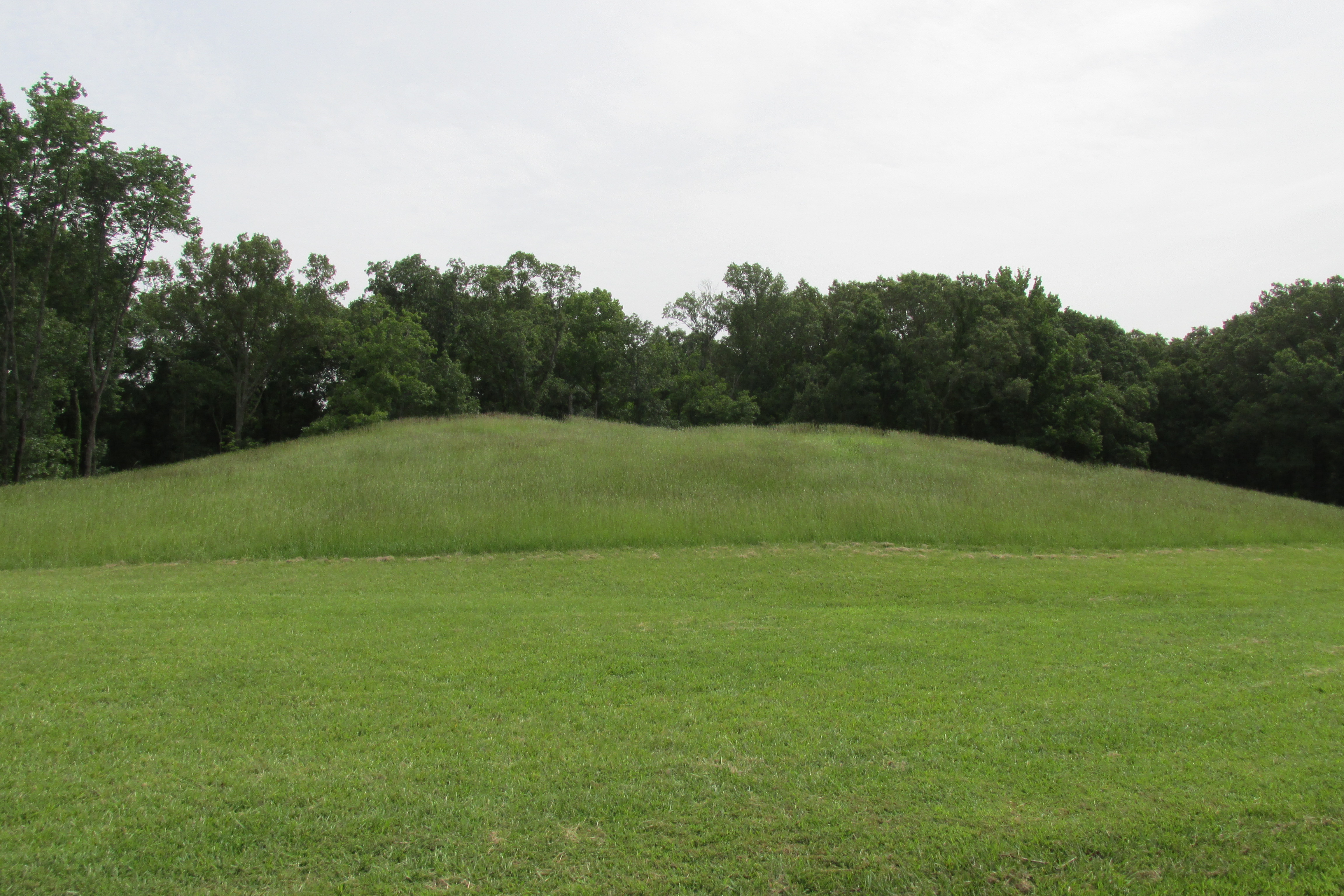
One of the many Mounds

Sarah’s Mont
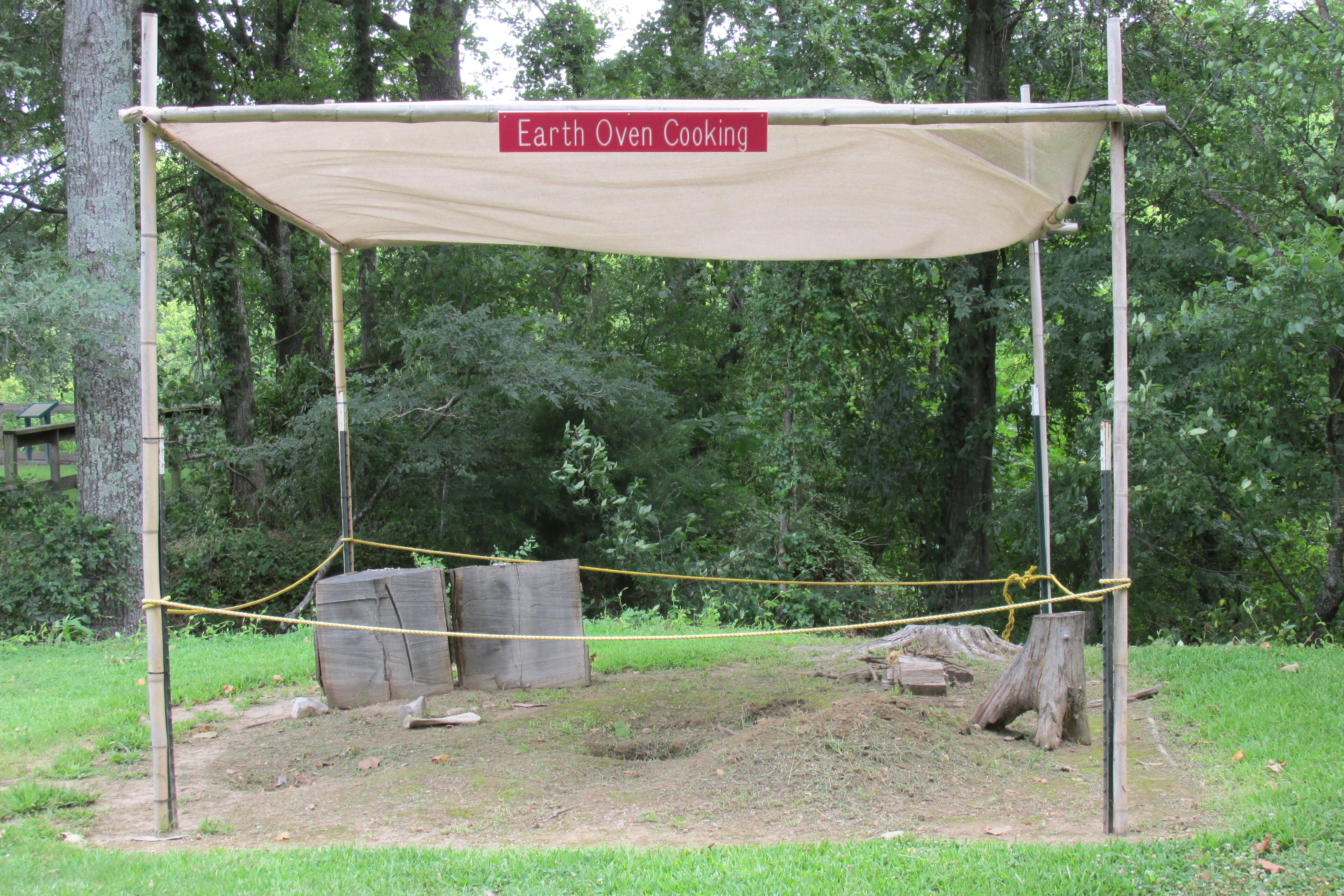
Outdoor Cooking Area
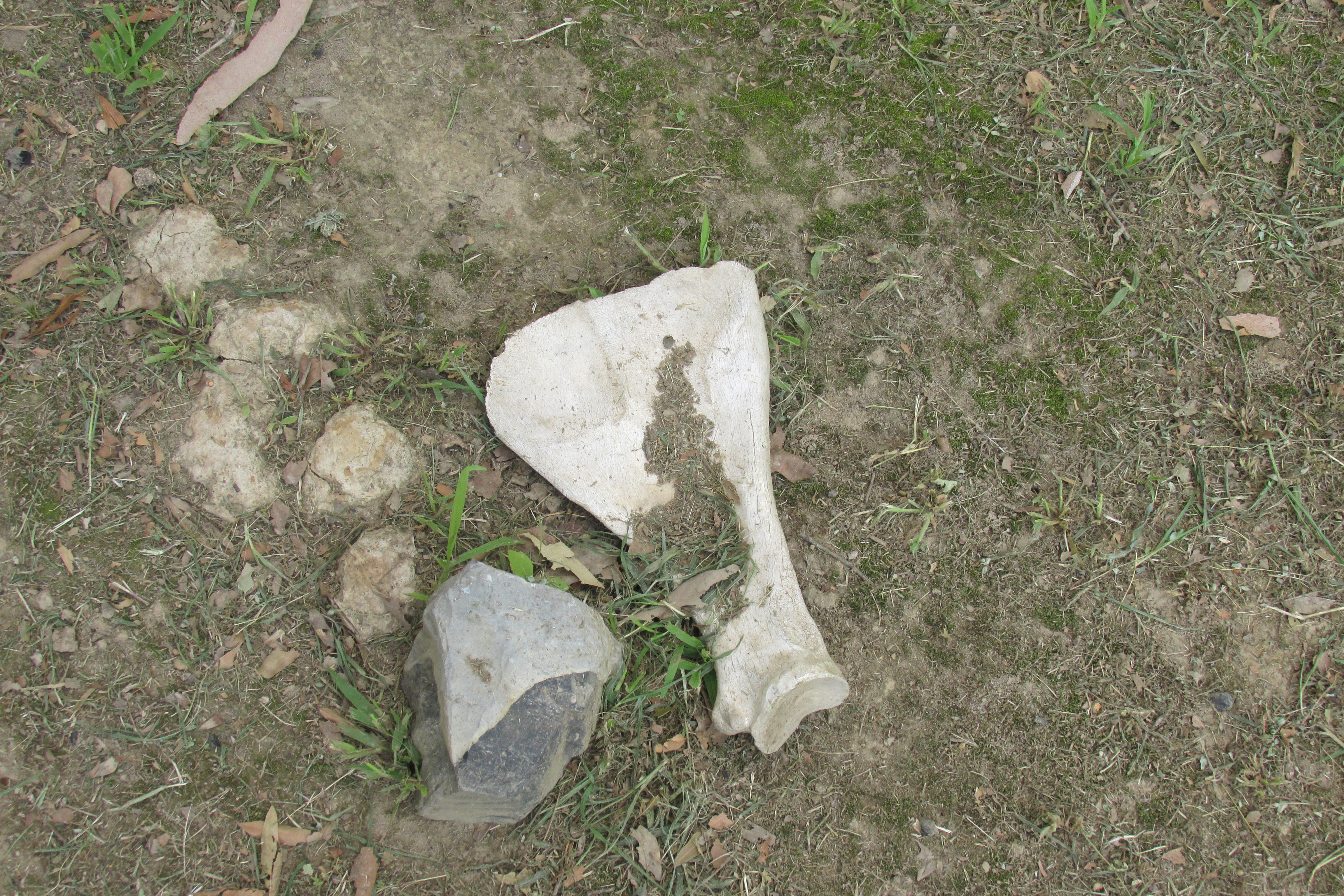
Cooking Implements
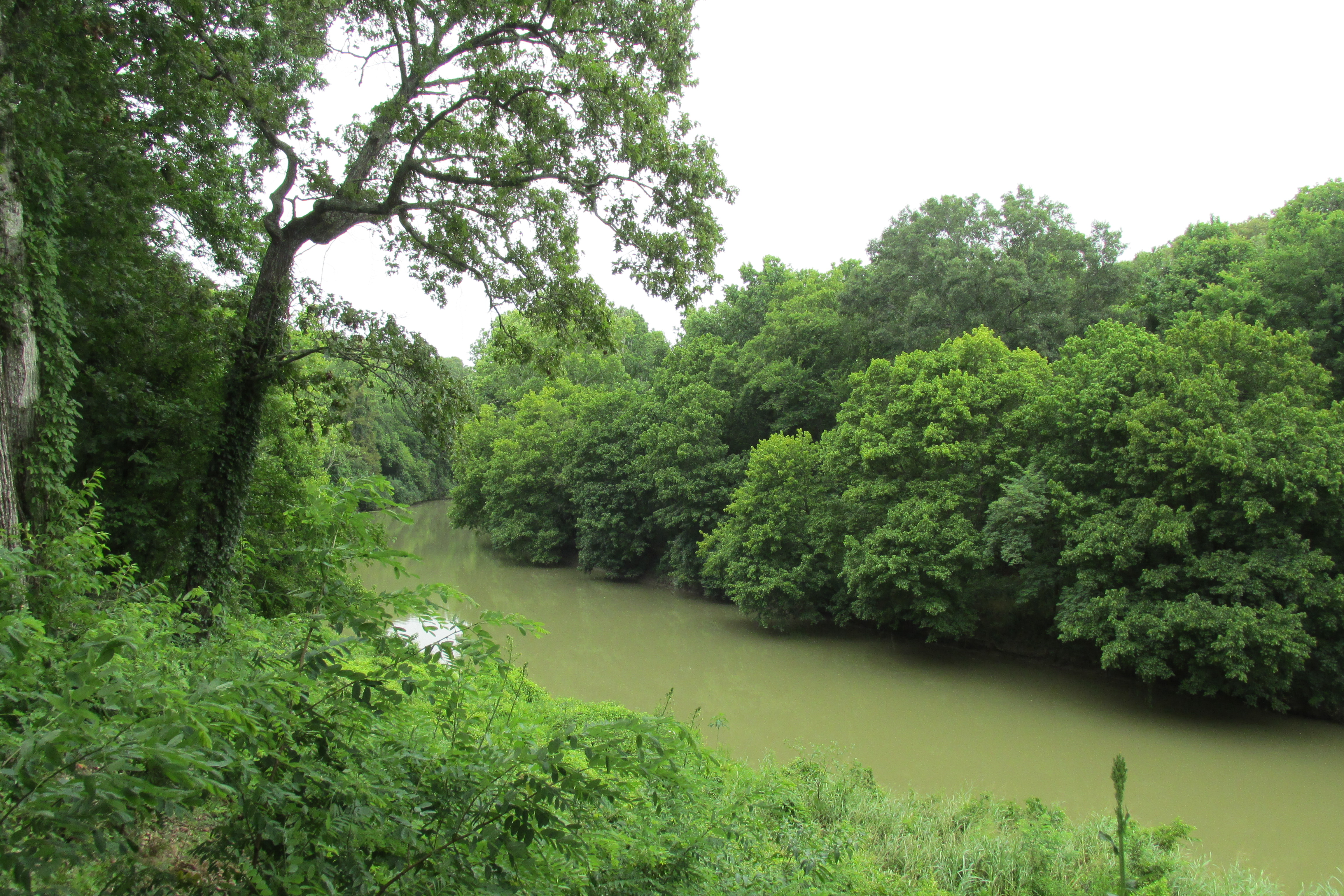
Bayou Macon

